Description:
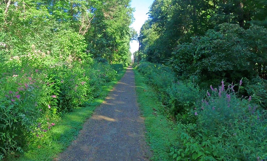
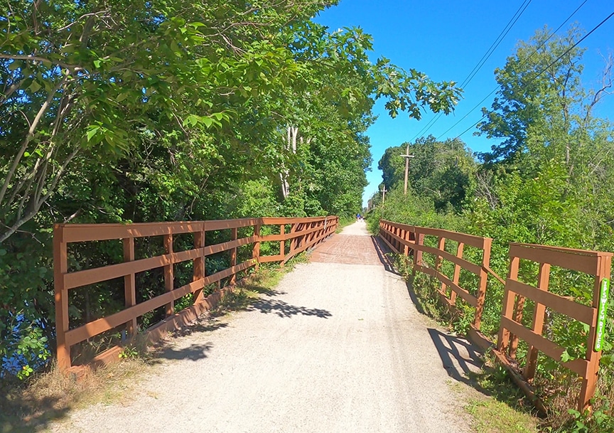
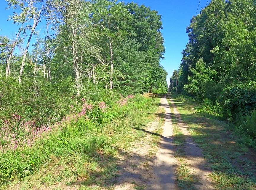
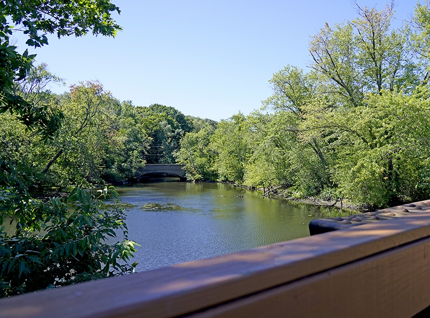
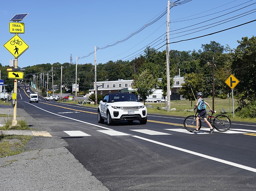
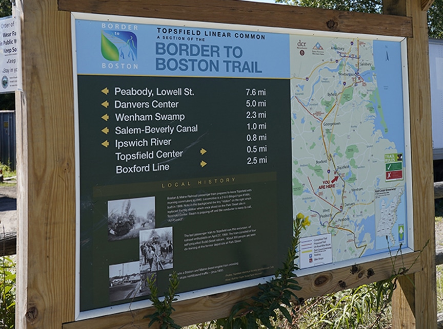
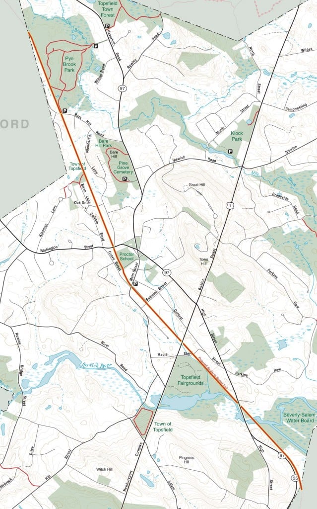
The Topsfield Linear Common is part of the larger “Border to Boston” trail that when completed will extend from Boston to the Salisbury/NH border. The multi-use “Rail Trail” goes from Pye Brook Lane in Boxford south to Lowell Street in Peabody. The trail utilizes the abandoned railroad bed of the Newburyport Branch Rail line that operated from 1854-1950. The Linear Common is 4 miles in length, extending from the Wenham town line through the center of Topsfield to the Boxford town line. The southern half of the trail, starting at Washington Street, is completed with a stone dust surface suitable for pedestrians, equestrians, baby carriages, mountain bikes, road bikes, and is wheelchair accessible. The northern half of the trail has been cleared and has a grass and hard pack surface that’s fairly smooth. There are crosswalks with manually operated flashing lights at the Rt. 1, Rt. 97, Washington St., and Bare Hill Rd. crossings. ECTA volunteers added planking and railings to the bridge over the Ipswich River to make it safe for trail users.
The Friends of Topsfield Trails are currently fundraising to improve the northern part of the trail and maintain the rest. www.friendsoftopsfieldtrails.org
Equestrians: Due to the surfacing of the trail and the high number and diversity of users who share it, equestrians are required to remove any manure that is dropped on the trail.

ECTA Map:
Enjoy our free maps and please consider making a donation to support ECTA.
For ECTA Webmap Sponsorship, click here.
Activities:
- Hiking
- Running
- Mountain biking
- Road biking
- Birding
- Dogs OK on Leash
- Horseback Riding
- Carriage Driving
- Cross-country skiing
Notes/Regulations:
- Open Dawn to Dusk
- No Motorized Vehicles
- Dogs must be leashed and dog waste must be removed
- Horse manure must be removed from the trail
Directions/Location:
Parking available in Topsfield Center on Park St., at 230 Newburyport Turnpike (southbound side of Rte. 1), on either side of Rte. 97 at the Ipswich River (196 High St.) and at Pye Brook Park’s southern entrance at 48-50 Bare Hill Rd.
Owner:
Trail south of Topsfield Center owned by the MBTA
Trail north of Topsfield Center owned by National Grid
- Horseback Riding
- Dog Walking
- Mountain-Biking
- Birding
- Walking/Hiking
- Running
- Cross-Country Skiing
- Dogs must be on leash
- Carriage-Driving


Hi-
We tried to follow the directions you have here to the parking for the Topsfield common rail trail and couldn’t find either one the way it’s described. We drove all over Pye Brook park and we couldn’t find the trail. We didn’t know it was kind of across the street from the entrance, it’s not clearly marked (we found out later when we rode back up that way).
We couldn’t find the parking on route 97 either. Is that parking lot near the river?
We wound up parking on route 1 over near the fairgrounds.
If you want to make it easier for people, maybe more specific directions or Google map pins?
Thanks very much, Brian! The directions were indeed vague. They’ve been corrected.